Aerial photography
A picture tells a thousand words…

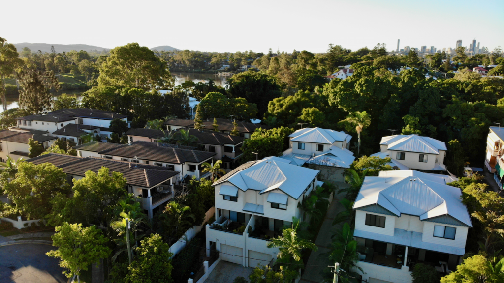
Elevate your Real Estate Listing with some aerial images of your property as well as surrounding suburb.
Surveying and Inspections
Drones have become an excellent way to survey and inspect property.
No longer is there the need for expensive scissor lifts, scaffolding, or ladders to access rooflines or inspect solar panels. The set up and deployment time of a drone saves hours and labour out in the field.
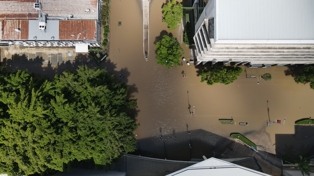
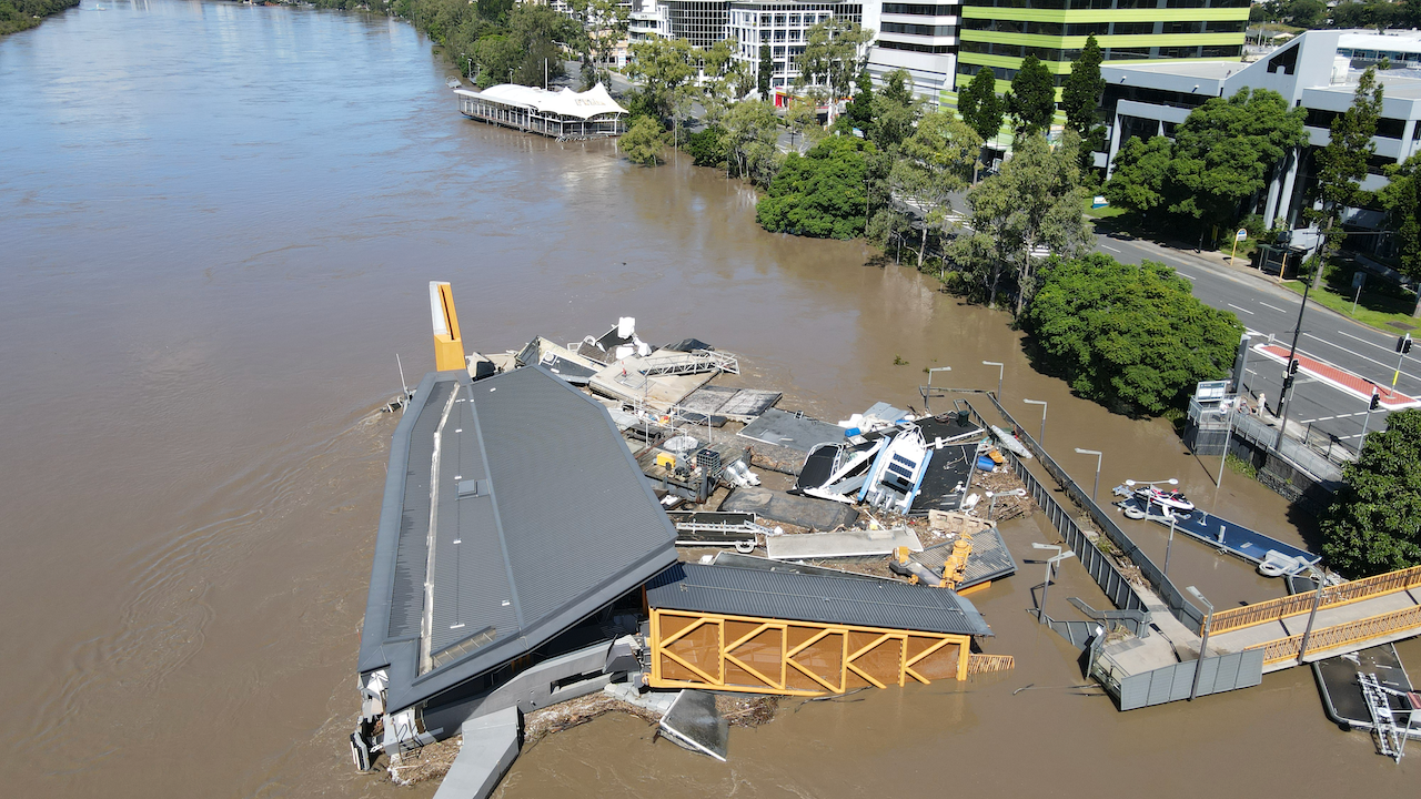
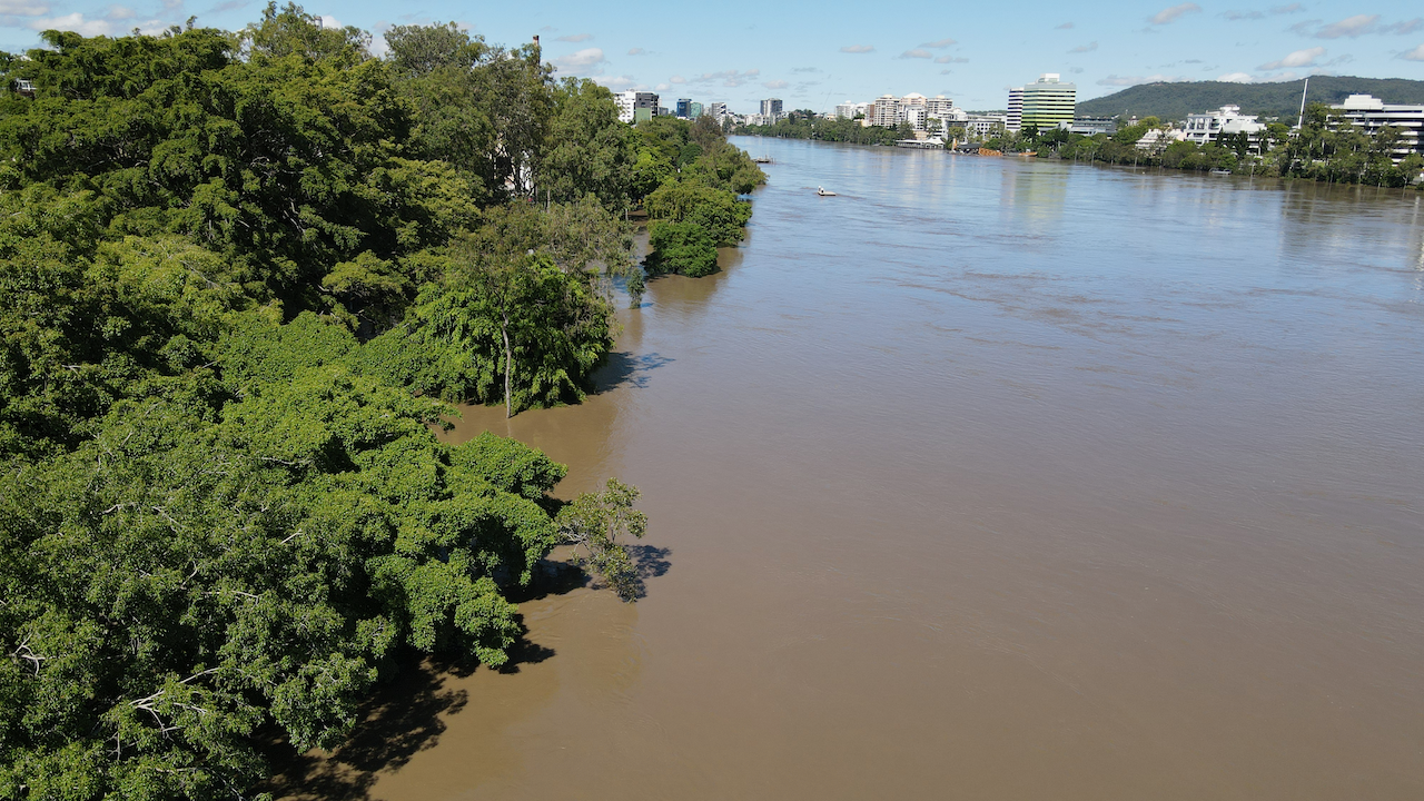
During the most recent Brisbane floods drones were used to gain access to flooded streets and yards to inspect property. They could be quickly deployed and the images shared instantly.


Our team are all equipped to operate remotely. They are able to complete the aerial mission, download the images and provide to our clients within minutes.